7-to-NeST: Start at the End
NeST makes delivering actionable results a just a few clicks
7-to-NeST
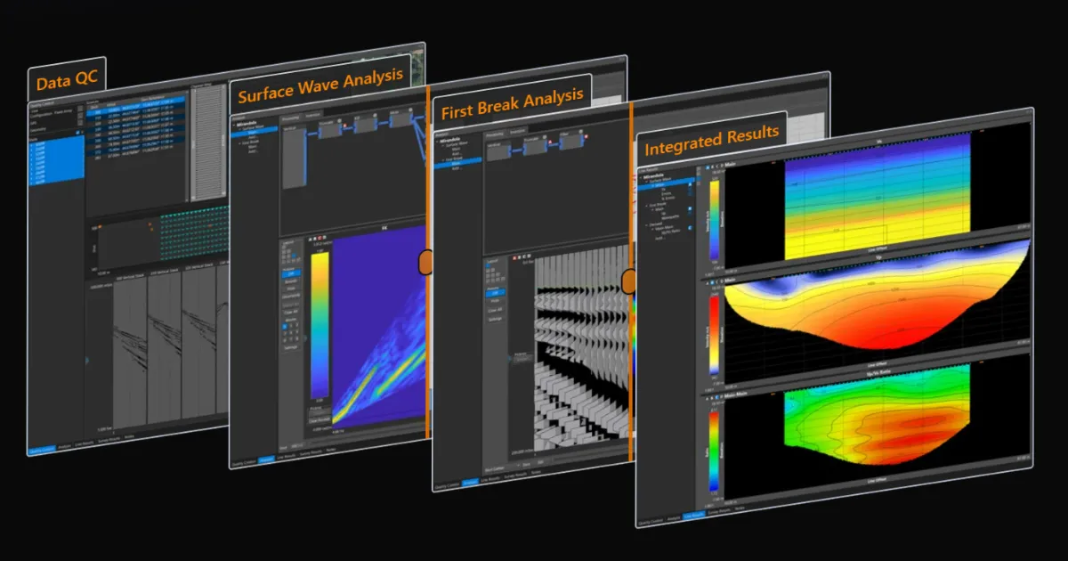
From the early days of GeoFennex, I asked everyone I talked to what their existing near surface seismic processing workflow looked like and what software they needed. After dozens of these conversations, the average number of indivdual software packages appears to be 7. These 7 softwares are used to accomplish a variety of tasks including data QC, Geo-Referencing, MASW processing, first break analysis, and generating results. This series of posts will explore the various features that will allow you to simplify your workflow from an average of 7 different softwares, to just NeST.
Start at the End
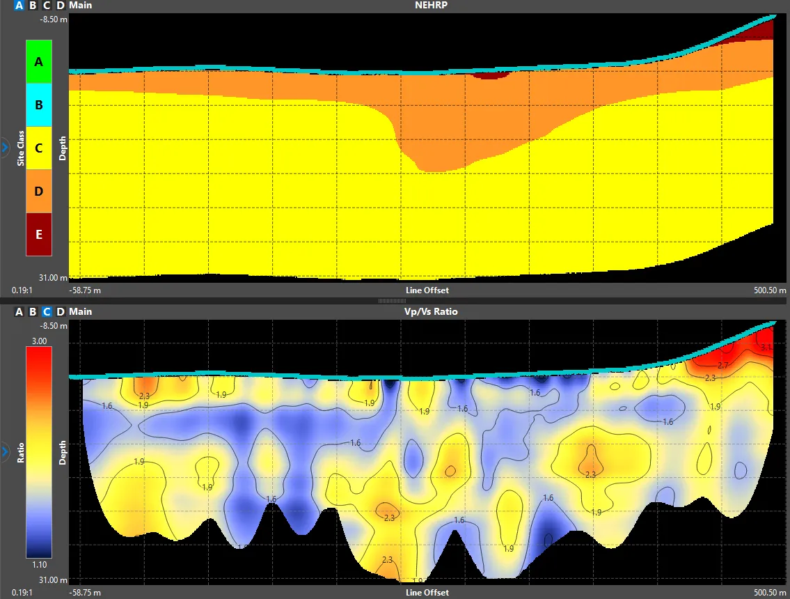
Contained within NeST are all the tools necessary to go from raw waveforms, to exporting geo-referenced results ready to be delivered to the end user. Exporting geo-referenced results can be done with a few simple clicks, with a variety of grid and image file options. In the figure below, you can see the NEHRP soil classification result from this post’s cover photo, exported as a geo-referenced image and simply loaded into Google Earth.
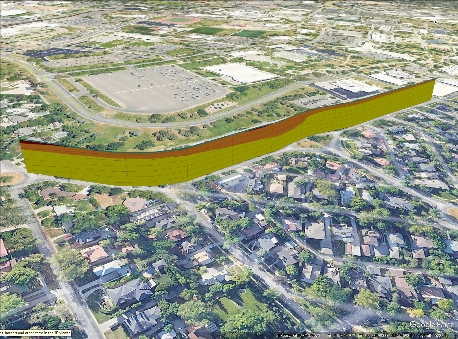 Figure 1: NEHRP soil classification result directly exported from NeST and dropped into Google Earth
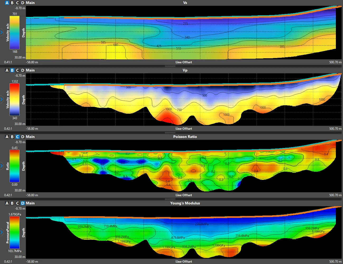
Stay tuned as I will show you next time how results can be tailored to deliver actionable information for a variety of End-Users. Whether they are an excavation contractor needing rippability estimates, or an engineer building a complex model requriing estimates of the various elastic moduli, NeST can deliver these results with just a few clicks and with no additional software.