Data Quality Control
Field data-to-processing in
One Application
Easily explore, manage, and preprocess all of your data. No scripting, additional software, or file conversions needed!
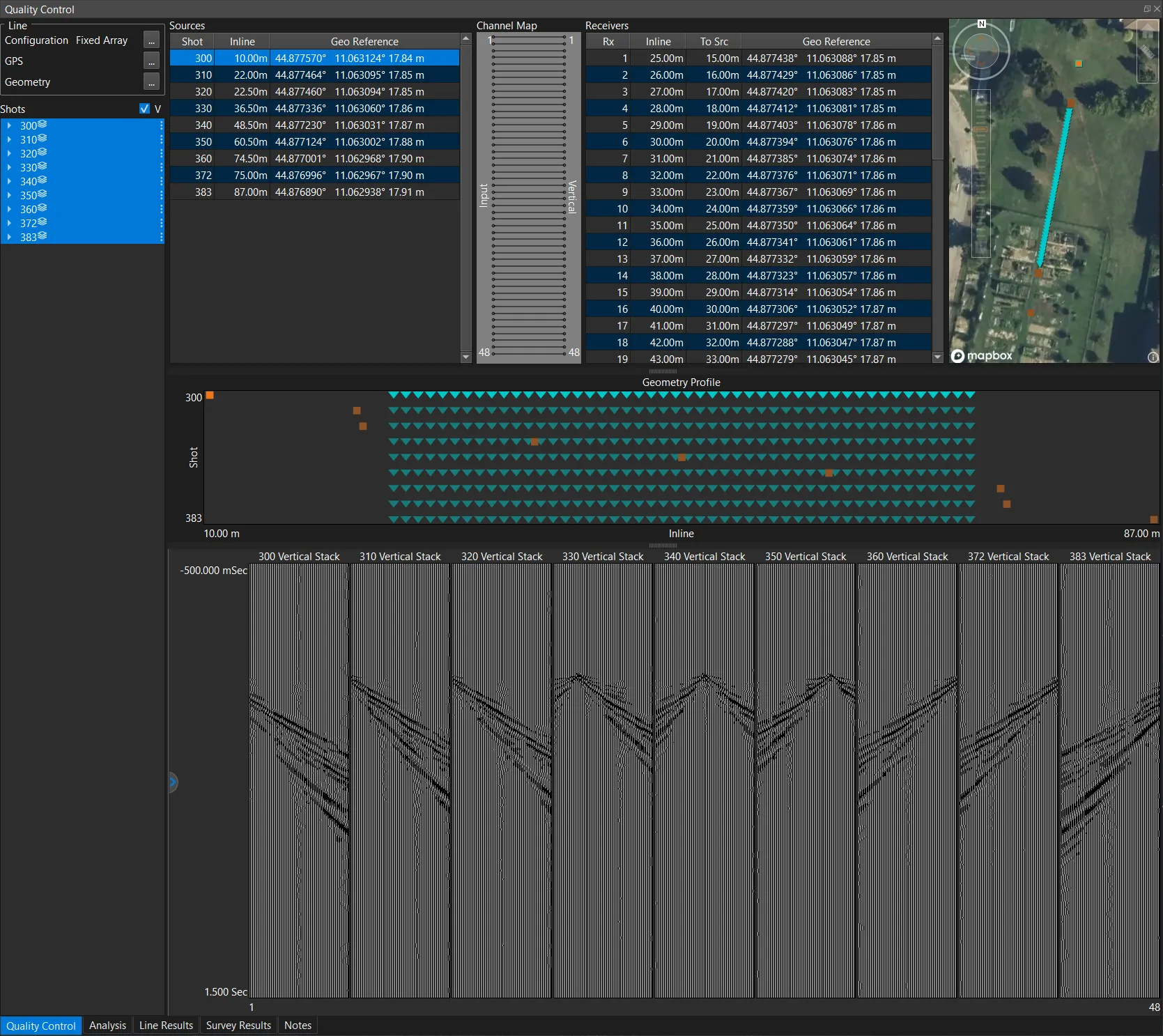
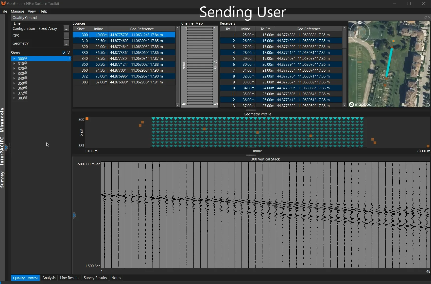
Interactive visualization, simple Point-and-Click processing
Intuitive data navigation makes preprocessing and the entire Quality Control task a breeze.
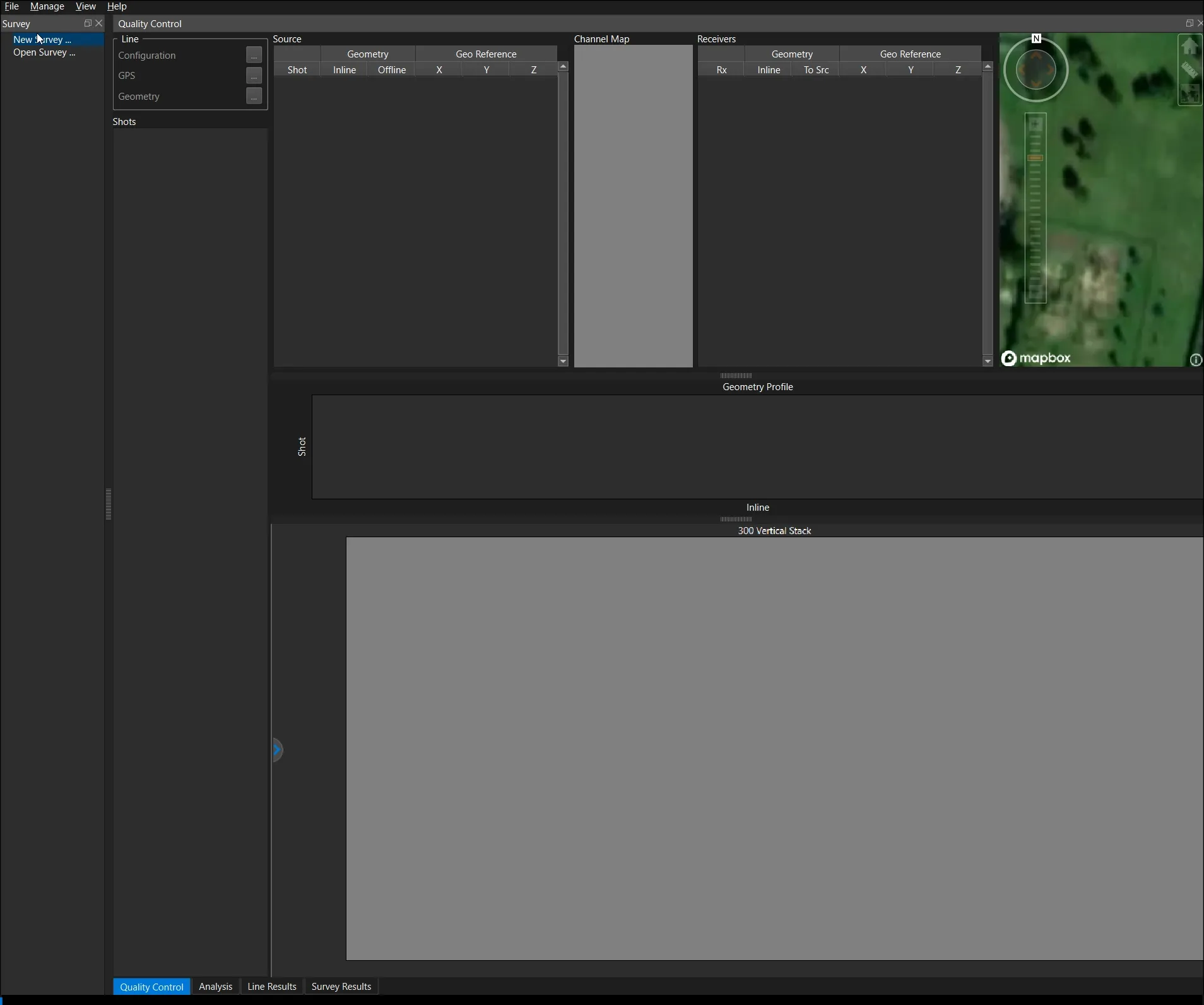
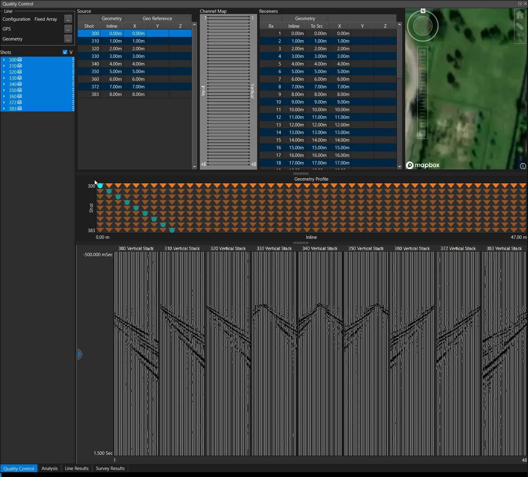
Simple and Robust Geometry tools
Easy to use Geometry tools, including interactive table entry and geometry displays.
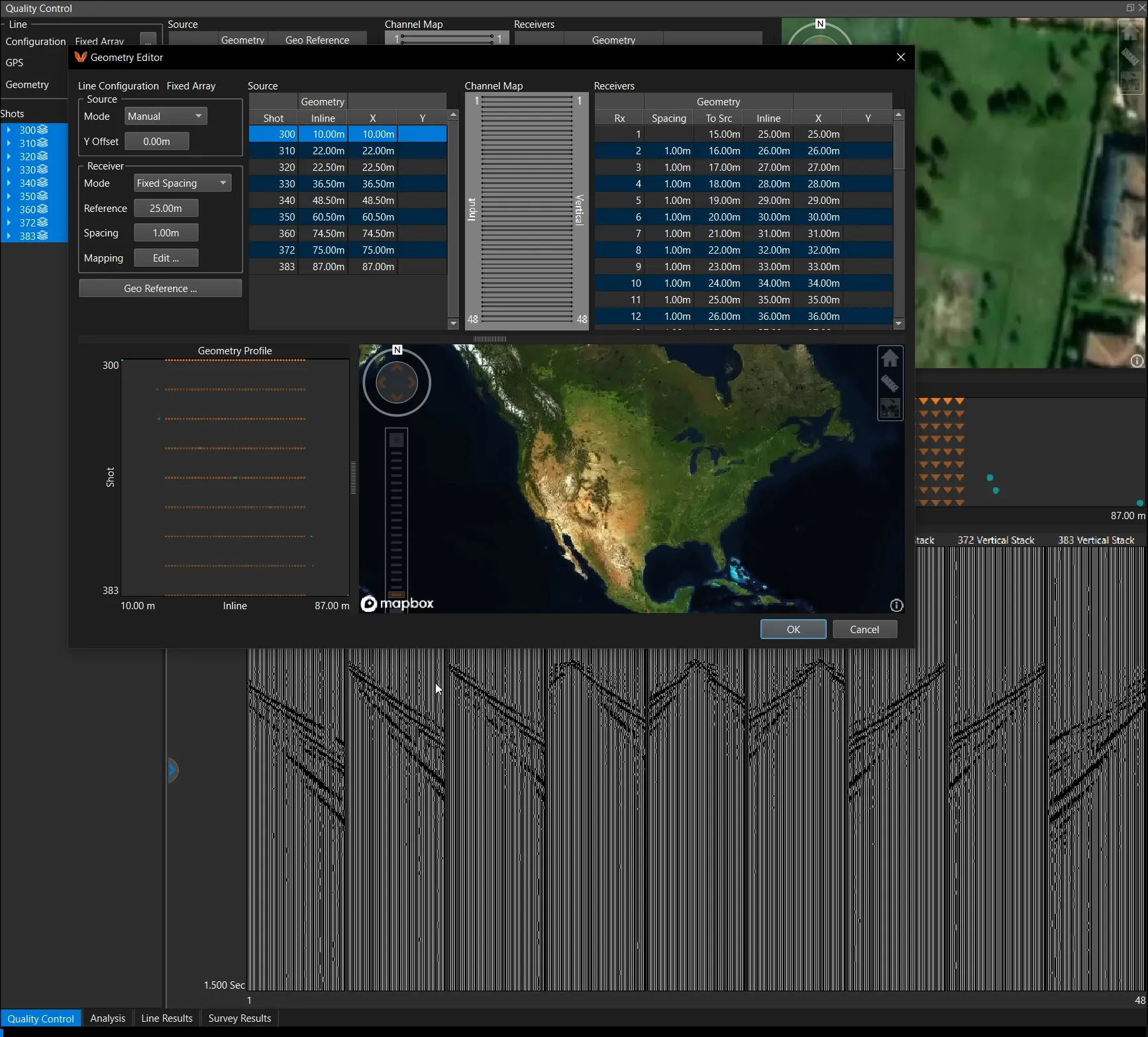
Geo-Reference your surveys
Put your acquisition arrays where they ultimately belong, directly on the map.
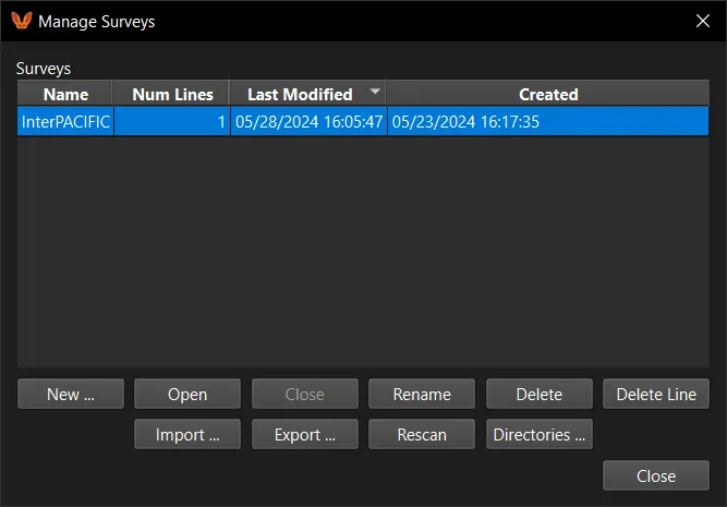
Export, Send, and Import entire surveys
Easily archive or send ALL of your data in a Single File including waveforms, processing, inversion results, picks, settings, results, and everything else seen in NeST
and many more
Everything needed for full survey data management
Simple File Management
Once data is imported, never deal with another file, we handle it! Want to backup or share? Simply import/export a single file.
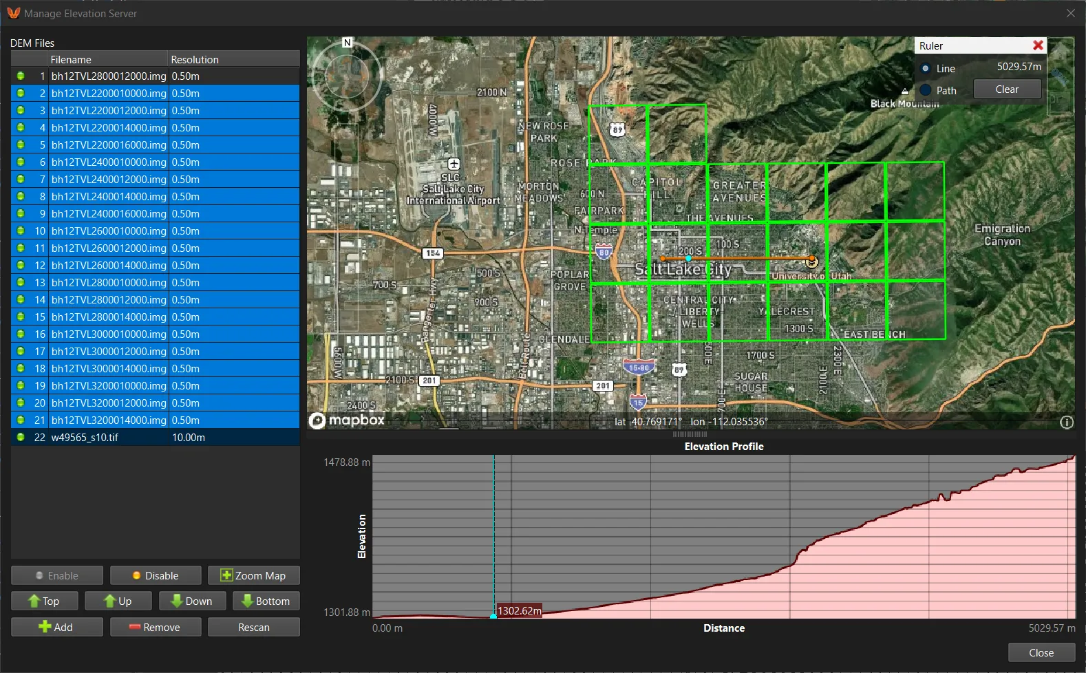
Locally Managed Elevation Server
Import and manage Digital Elevation Models (DEM) used to accurately reconstruct the surface topography along an array.
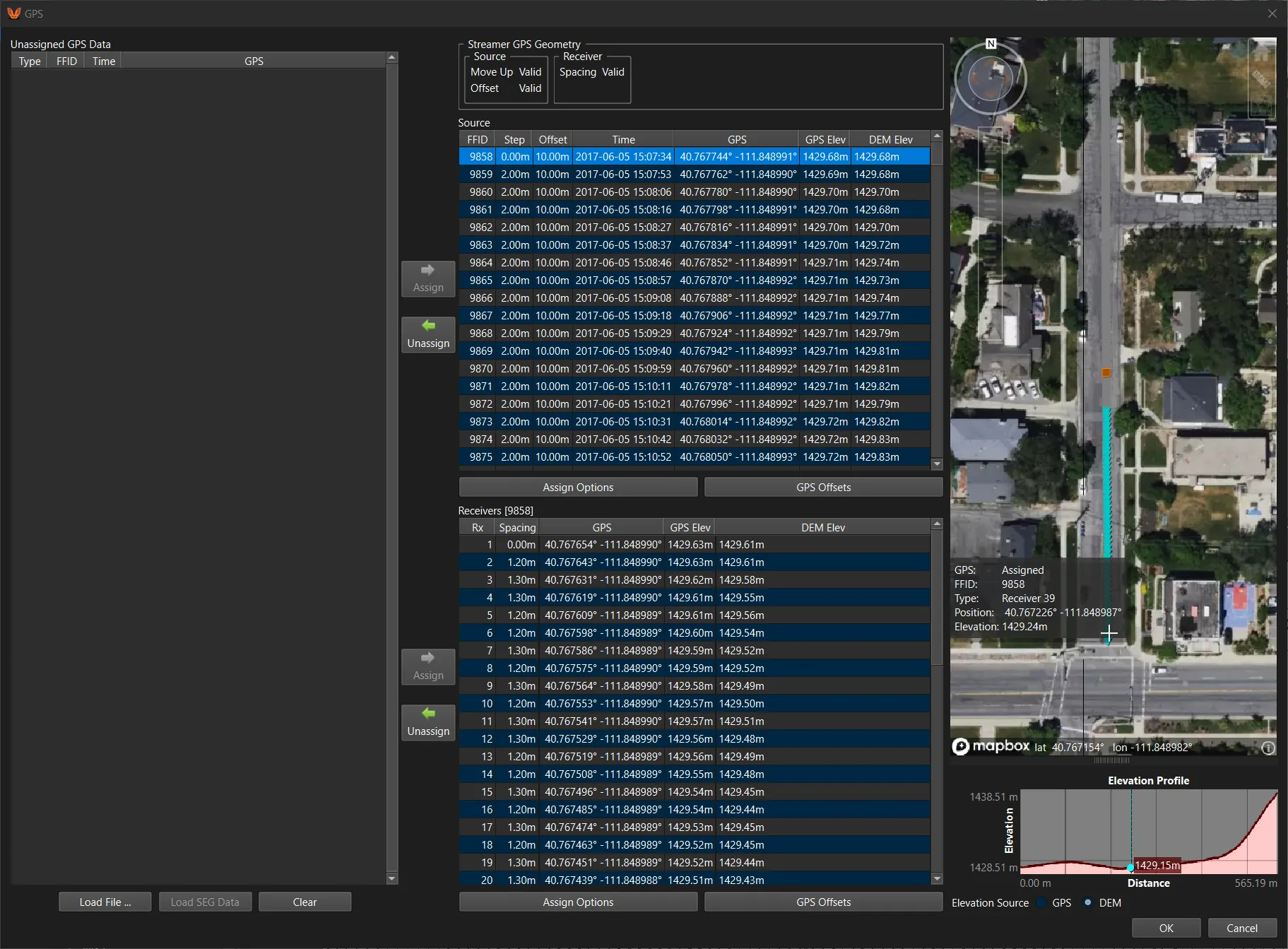
Import and Manage GPS data
Assign NMEA based GPS data to sources and/or receivers, driving geometry determination and Geo-Referencing.
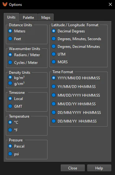
Global Unit Changes
Set NeST to work in your desired units. Also works to transform units for all of your existing results with one Click!
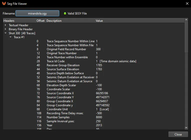
View SEG file headers
Integrated SEG file viewer to examine file headers. Supports SEGY, SEG-2, and SEG-D formats
Ready to Simplify?
Contact us to get a free trial or to set up a demo for your team!